Geo-studies: From surveying to climate protection
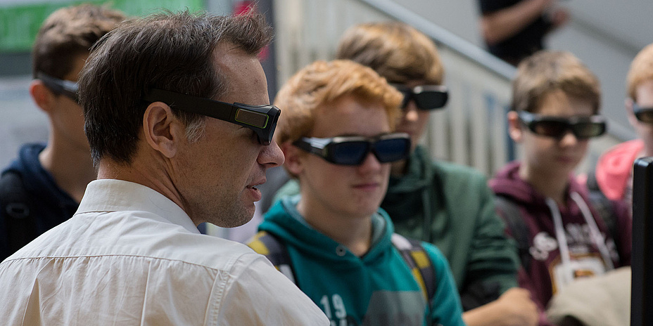
Gaming with geodesists
Students estimate how much their geoscience training is linked up with practical experience. And geoday2017 can’t be complete without the art of the application: “GeoGame” is about marking out a field of ten square metres as exactly as possible without using a measuring device. Gamers together with supervisors will check the results using “official” geodetic methods. In the “WissensGame” (KnowledgeGame), theoreticians are asked questions. They give interesting answers about geodesy at several stations. There will be a draw with a Microsoft Surface PRO and an ASUS Convertible Transformer Book as main prizes.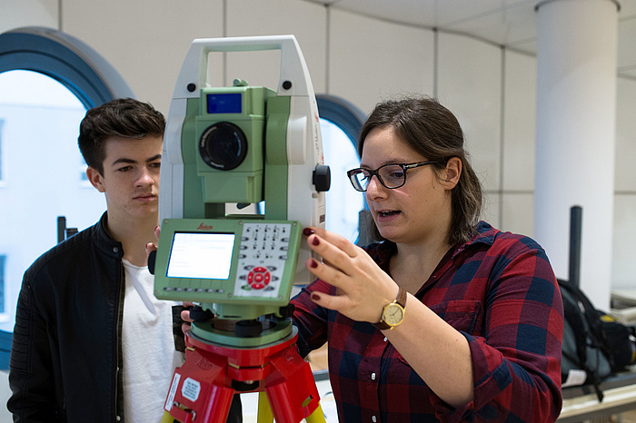
Kontakt
Institute of Geodesy – Working Group Theoretical Geodesy and Satellite Geodesy
Steyrergasse 30
8010 Graz, Austria
Phone: +43 660 2646410
<link int-link-mail window for sending>geoday@tugraz.at
