Quick Facts
- Duration of study: 6 semesters
- ECTS credit points: 180
- Academic degree: Bachelor of Science (BSc)
- Language of instruction: German
The Bachelor's Programme
In this degree programme, you will deepen your scientific knowledge and learn more about the geometric and physical relationships of the Earth and space, as well as how they change. You will observe natural phenomena, analyse associated geodata, and recognise future developments in advance.
- You will study satellite orbits and learn about the dynamic systems of Earth.
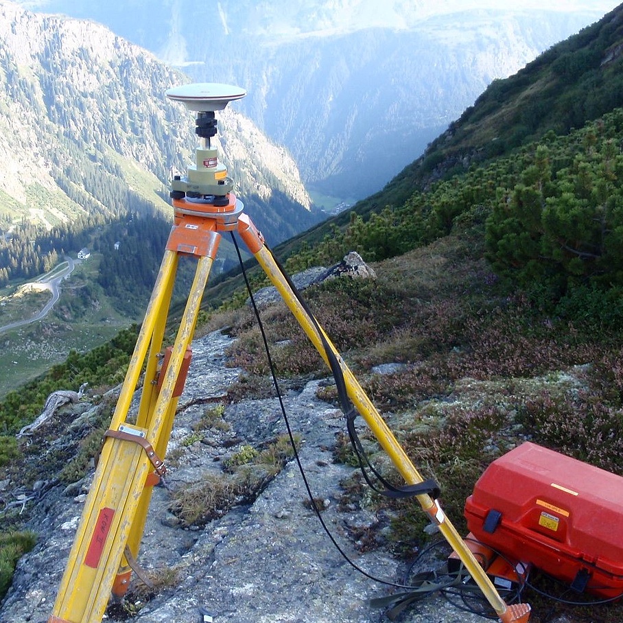
- You will use land-, aerial-, and satellite-based measurement methods and information technologies, e.g. through remote sensing.
- You will collect, analyse, and visualise geodata (e.g. live sensor data) and prepare data to use for online mapping services.
- You will develop solutions for positioning and the navigation of objects on Earth, in water, and in the air.
- You will measure objects on the Earth's surface down to the millimetre range and create digital twins.
- You will monitor engineering structures such as bridges, tunnels (e.g. the tunnel control system in the Semmering Base Tunnel) and dams, as well as natural phenomena such as glaciers and landslides.
- You will learn methods that you can use to determine the Earth's gravitational field.
With the knowledge you have acquired and the practical experience you have gained through exciting field exercises and excursions, you will be excellently prepared to meet challenges after graduation.
Studying Geodesy
Focus Areas
You will acquire specialised knowledge in the following subjects:
Mathematics, Physics, Computer Science: You will acquire scientific knowledge and learn how to perform object-oriented programming in order to formulate and solve fundamental geodetic problems.
Geoinformatics, Remote Sensing and Photogrammetry: You will gain an understanding of the technologies used to record data on the Earth's surface. You will be given the tools to recognise and solve spatial problems by learning how to acquire, manage, analyse and visualise geodata.
Navigation: You will become familiar with the theoretical principles that apply to satellite-based positioning in navigation.
Physical Geodesy and Satellite Geodesy: You will learn more about the physical causes of satellite movement, as well as how to investigate and interpret measurements and determine the Earth's gravity field.
Statistics: You will acquire basic knowledge in the areas of adjustment calculation, variance propagation, statistical data analysis, and hypothesis testing.
Surveying, Engineering Geodesy, Cadastre: You will acquire extensive knowledge in surveying, enabling you to ensure and evaluate the quality of the measured data. In addition, you will learn how to use the basic engineering geodetic methods.
Study counselling: Check what you expect!
What will I have to do in the first semesters? How much practice can I expect? And what can I actually do with my degree when I've finished? Check what you expect!
A student and a lecturer will take time for all your questions and you will get to know TU Graz during on-site appointments. Up to 10 persons can participate at each date.
Contact: lse@tugraz.at
Geodesy Engineering in Research and Industry
Geodesy is currently one of the more rapidly growing industries worldwide. It provides essential knowledge that enables people to meet local and global challenges. Due to the huge demand for geo-targeted solutions, there are countless opportunities to develop new methods.
These range from the study of climate change (Change Monitoring of System Earth
) to technologies applied in disaster control and from automated monitoring of structures and natural systems (e.g. dams and glaciers) to the development of navigation systems and motion profiles in the automation of vehicles, drones, and agricultural machinery.
Because it involves the collection of data from space, the air, and the Earth's surface, the study of geodesy covers a wide range and makes indispensable international contributions. Students can already gain practical experience in their bachelor's degree programme through close contacts with representatives of local industry and renowned research institutions.
Geodesy at TU Graz
Admission
Admission Requirements
Requirements for admission to a bachelor's degree programme at TU Graz
Admission Deadlines
Summer semester 2025
Admission period: 7 January to 5 February 2025
Winter semester 2025/26
Admission period: 7 July to 5 September 2025
Admission Procedure
Supplementary examination
If you are required to take the supplementary examination "Descriptive Geometry" when you are admitted to the Geodesy programme, you can take it during the bachelor's programme.
Questions about admission?
Contact study@tugraz.at
Perspectives for Graduates
Professional Fields
The number of available positions is significantly higher than the number of graduates, both nationally and internationally.
Geodesists work
- as executives and members of management teams in consulting companies, technical offices, and administrative offices;
- freelance, as state-authorised and court-certified engineering consultants;
- to support the establishment of a start-up (e.g. in location-based apps and in Open Data environments);
- in earth science research and development;
- in the evaluation and analysis of satellite data;
- by providing information technology services; and
- in industry (surveying industry, smart manufacturing).
In addition, you qualify to enter advanced master's degree programmes in all areas of geodesy.
Advanced Master’s Degree Programmes
After completing the bachelor's degree programme, you can enrol in the following master’s degree programmes without further requirements:
Information on other master's degree programmes with requirements you can find on the respective pages for the master’s degree programmes.
In addition, the bachelor's degree offers you the opportunity to apply internationally for master's degree programmes.
3D laser scan of castle ruins
Recording of the castle ruins of Neuwildon by 3D laser scan and photogrammetric UAV method


