
Millions of people visit sports competitions, concerts and religious celebrations every year and with the ever growing population the number is not likely to decrease. There is a large variety of possible emergencies (natural disasters, fire, terrorist attacks, bombings) with most of them requiring a full or partial evacuation of the event area. Computer-aided evacuation simulation is a very import preliminary step when planning safety measures for major public events.
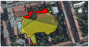
The goal of this KIRAS project is to develop methods for spatial validation and securing of such large events in public space from high-resolution aerial images. This enables for the first time a large-scale and resource efficient planning before the event to reduce the probability of a crisis, and quick simulation and reaction in case of emergency.

 Millions of people visit sports competitions, concerts and religious celebrations every year and with the ever growing population the number is not likely to decrease. There is a large variety of possible emergencies (natural disasters, fire, terrorist attacks, bombings) with most of them requiring a full or partial evacuation of the event area. Computer-aided evacuation simulation is a very import preliminary step when planning safety measures for major public events.
The goal of this KIRAS project is to develop methods for spatial validation and securing of such large events in public space from high-resolution aerial images. This enables for the first time a large-scale and resource efficient planning before the event to reduce the probability of a crisis, and quick simulation and reaction in case of emergency.
